Star Map
Interactive celestial map showing stars, constellations, and planets. Pan, zoom, and explore the night sky.
About Star Map
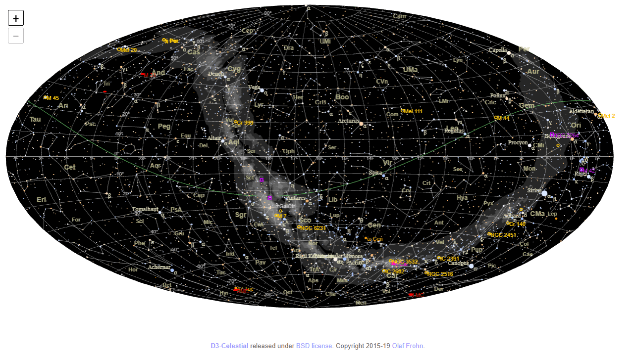
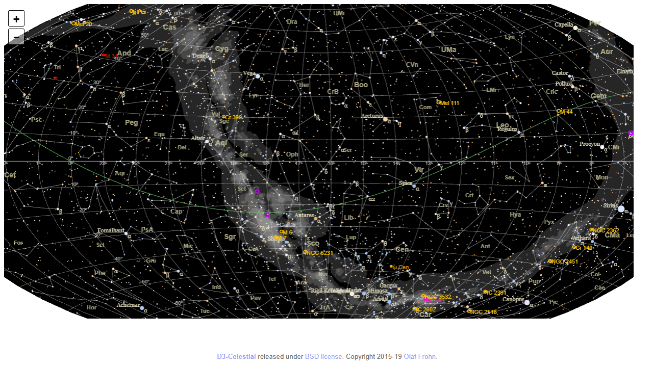
Point your phone at the sky — or just drag the map with your mouse — and Star Map shows you exactly what's overhead: named constellations, labeled stars ranked by magnitude, and the current positions of planets. Pan across the celestial sphere, pinch or scroll to zoom into a tight cluster, and tap any object to see its coordinates and basic data. It's built on the open-source d3-celestial library, so the underlying star catalog is genuinely thorough.
It fits naturally into education — useful for a classroom unit on astronomy or just satisfying personal curiosity about that bright object you keep noticing at dusk. There's no score, no timer, no progression system; it's a reference tool you explore at your own pace.
If you'd rather follow the planets through their orbits than browse a flat chart, Solar System Explorer goes in a different direction with animated 3D orbital mechanics. Star Map itself shines on a larger screen because the full star field spreads across the display, making faint constellation lines much easier to trace.
Look inside
How to use
This is an interactive celestial map showing stars, constellations, and deep space objects across the night sky. **Navigation:** • Click and drag to rotate the star map in any direction • Use mouse wheel to zoom in and out for detailed views • Zoom controls appear on screen for precise navigation **What You'll See:** • Stars displayed with realistic colors and brightness levels • Constellation lines and names to help identify star patterns • Deep space objects like galaxies, nebulae, and star clusters • The Milky Way band across the sky • Coordinate grid lines for reference **Display Options:** • Objects are shown based on magnitude (brightness) limits • Brighter stars and objects display names when zoomed in • Different symbols represent various types of deep space objects • Star colors reflect their actual spectral classifications **Coordinate Systems:** • Default view shows equatorial coordinates • Green line indicates the ecliptic (sun's path) • Additional reference planes available **Purpose:** Use this tool to explore the night sky, learn constellation patterns, locate celestial objects, or plan astronomical observations. The map provides an accurate representation of star positions and relative brightness.
Reviews
No written reviews yet. Be the first!
More from Education

A geography speed-quiz. Type country names against the clock — every one you nail lights up the map. Eight maps (world + every continent), three paces, leaderboards, percentile standings, and a per-answer rarity stat that shows how many other players named each country.
by geodude